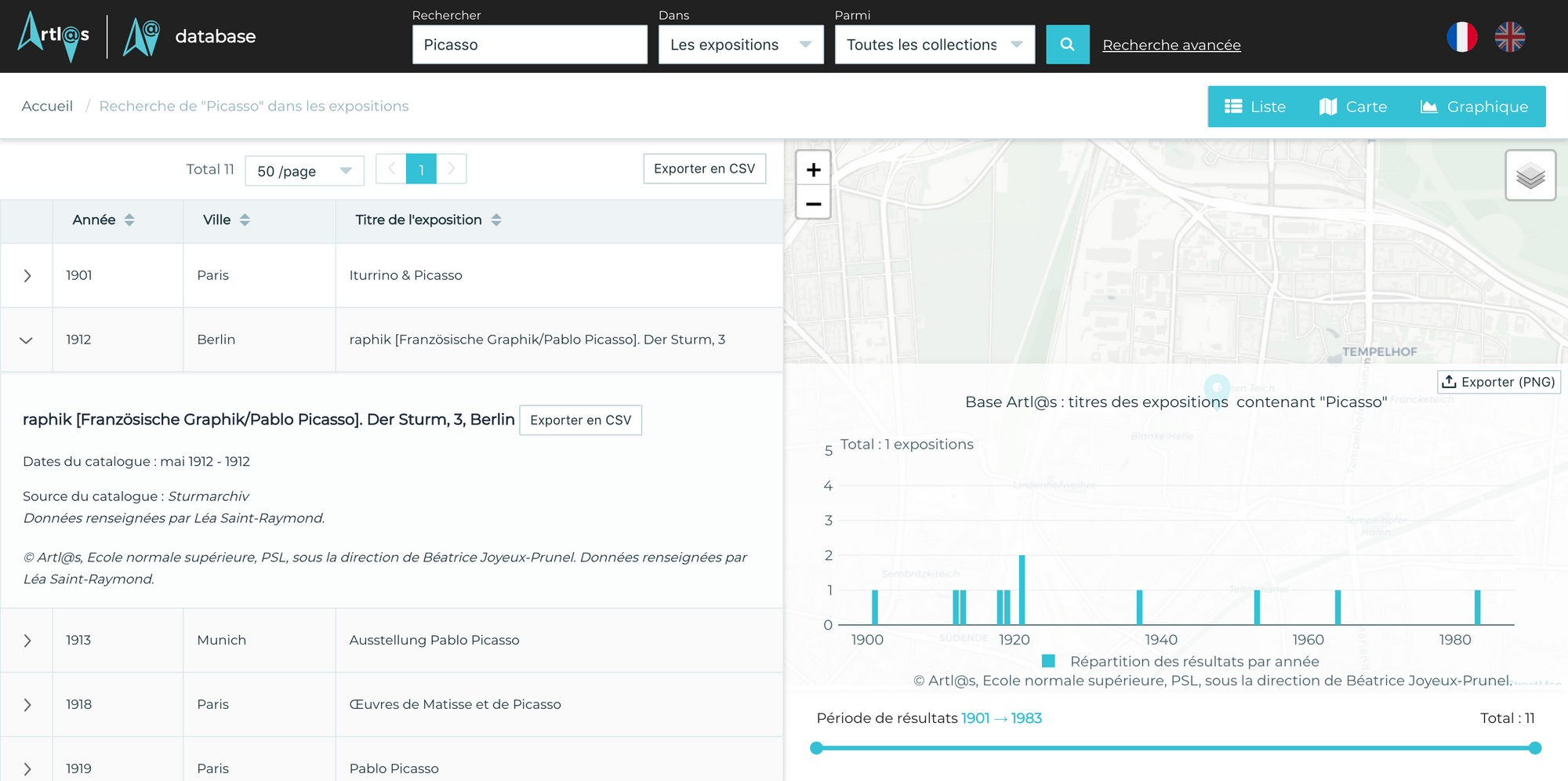
L'École Normale Supérieure (ENS) and Purdue University (USA) provides a worldwide database of exhibition works catalog from XIXth century to nowadays, called Artl@s.
This database evolved and many volunteers researchers contributes to it. The aim was to create a platform to visualize and geolocate all these data with open source solution.
The application must allow to make custom requests and provide various data representations : map, chart, table or more.
We choose to use VueJS to as front-end framework and Leaflet for map.